UP BhuNaksha is online in 2024 at upbhunaksha.gov.in. This is the official site of the Revenue Council Department of Uttar Pradesh. The UP Bhunaksha Portal lets you check Bhu Naksha info from home. You are able to see every document that is pertinent to UP Bhulekh Naksha.
In the past, we had to visit the patwari and the tehsil to get information about Bhu Naksha UP. You can now easily get info about Bhu Naksha, Uttar Pradesh, from home. Additionally, you can choose to download the document related to Bhunaksha, Uttar Pradesh. This article explains how to use the official Revenue website to view the Bhulekh map UP online.
Highlights: UP Bhunaksha
| Parameters | Statistics |
| Information | Uttar Pradesh Land Map |
| State | Uttar Pradesh |
| Channel | Online |
| Department | Revenue Board Uttar Pradesh |
| Benefit | free bhu naksha download |
| Official Website | https://upbhunaksha.gov.in/ |
What does the Bhulekh Map UP refer to?
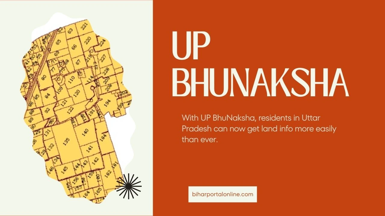
Every map of a piece of land displays the geographic position of that land. The Revenue Council of Uttar Pradesh has launched a distinct website for viewing the land map of UP. You have the option to visit this website and view the map of any area in UP. After verifying the land map records, you can proceed to download it as well.
Viewing the Land Map of UP BhuNaksha Online
The official Uttar Pradesh Revenue Board website makes it simple to browse and study the state’s land map. To access land maps and information on individual Khasra numbers, quickly and easily follow the procedures listed below.
| Step | Action |
| 1 | Open the official website of the Uttar Pradesh Revenue Council: upbhunaksha.gov.in. |
| 2 | Select the district, tehsil, and village of the area you want to view on the homepage. |
| 3 | The selected village map will display. Click on the desired Khasra number or enter it in the search box. |
| 4 | In the “Plot Info” section, find the option for “Map Report” and click on it. |
| 5 | Fill in the captcha code and click on “Show Report PDF.” |
| 6 | View the Shajra Bhu Naksha; use the print or download icons to save or print the map. |
Benefits of Online Land Map of UP BhuNaksha
The digital land map of Uttar Pradesh provides a convenient tool for residents to access crucial land information. This initiative greatly cuts down on the time and effort that was once needed to get land maps.
- Easy Access: Official website for viewing Bhu Naksha UP launched.
- Time-Saving: No need to visit Patwari and Tehsil offices.
- Quick Viewing: Access land maps online in just 5 minutes.
- Reduced Disputes: Fewer land-related disputes among residents.
Land Types in Uttar Pradesh Map

Different colors are used to depict different land types on the Uttar Pradesh map. You may make sense of these colors and each land category’s features with the aid of this guide.
- Purple (5-3-ङ): Different vacant land suitable for cultivation.
- Cyan (1-क): Territory managed by landholders with transferable rights.
- Magenta (6-1): Land that is not used for farming – land that is underwater.
- Pink (6-2): Territory owned by landholders with non-transferable rights.
- Brown (2) explains that non-agricultural land includes wasteland, roads, railways, buildings, and other non-agricultural purposes.
- Gold (5-1): Recently unused land that can be cultivated—new fallow.
- Teal (6-4): Land not used for farming for various other reasons.
Districts in Uttar Pradesh whose land maps are accessible online
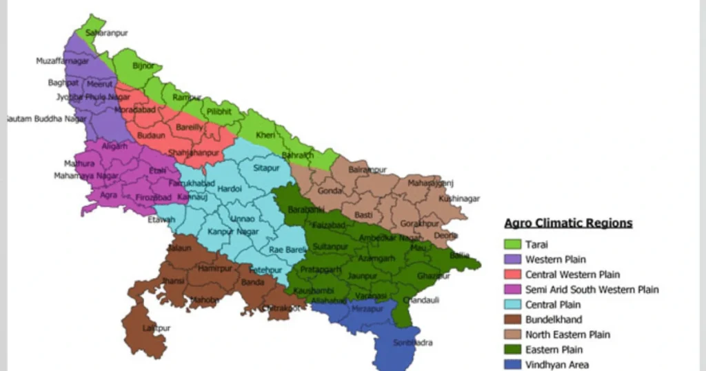
The districts of Uttar Pradesh with online land maps posted on the official Bhunaksha UP Portal website of the Revenue Council Department of Uttar Pradesh are known.
- Agra
- Jhansi
- Aligarh
- Kannauj
- Ambedkar Nagar
- Kanpur Dehat (Kanpur Rural)
- Amethi
- Kanpur Nagar (Kanpur Nagar)
- Amroha
- Kasganj
- Auraiya
- Kaushambi
- Ayodhya (Ayodhya)
- Kheri (Kheri)
- Azamgarh
- Kushinagar (Kushinagar)
- Baghpat
- Lalitpur (Lalitpur)
- Bahraich
- Lucknow
- Ballia
- Mahoba
- Balrampur (Balrampur)
- Maharajganj
- Banda
- Mainpuri
- Barananki (Barabanki)
- Mathura
- Bareilly
- Mau
- Basti
- Meerut
- Bijnor
- Mirzapur
- Budaun (Budaun)
- Moradabad
- Bulandshahar (Bulandshahar)
- Muzaffarnagar
- Chandauli
- Pilibhit
- Chitrakoot (Chitrakoot)
- Pratapgarh
- Deoria
- Prayagraj
- Etah
- Rae Bareli (Rae Bareli)
- Etawah
- Rampur
- Farrukhabad
- Saharanpur
- Fatehpur
- Sambhal
- Firozabad
- Sant Kabir Nagar (Saint Kabir Nagar)
- Gautam Buddha Nagar
- Sant Ravidas Nagar (Bhadohi) (Saint Ravidas Nagar)
- Ghaziabad
- Shahjahanpur
- Ghazipur (India)
- Shamli
- Gonda
- Shrawasti (Shravasti)
- Gorakhpur
- Siddharthnagar (Siddharthanagar)
- Hamirpur
- Sonbhadra (Sonbhadra)
- Hapur
- Sultanpur
- Hardoi (Hardoi)
- Unnao (Unnao)
- Hathras (History)
- Varanasi
- Jalaun
Conclusion
With UP BhuNaksha, residents in Uttar Pradesh can now get land info more easily than ever. You can view and download land maps on the official website. This cuts the need for in-person visits to government offices. This project reduces land conflicts and informs citizens about their property. It also saves time. Visit upbhunaksha.gov.in to see its priceless resources.
FAQs
Q1. Does the downloaded map of the land have legal validity?
Ans. The online land map downloaded is only meant for general informational purposes. It is not intended for legal purposes.
Q2. What is the designated website for Bhu Naksha UP?
Ans. Visit https://upbhunaksha.gov.in/ to access Uttar Pradesh’s land map. It is on the Revenue Board’s official website.
Q3. In case of any mistakes on your land map, where should I get in touch?
Ans. Spot errors in your land map? Contact your local Patwari or Tehsil office for corrections. The Revenue Board’s phone number offers another avenue for assistance. Quick action ensures accurate records.
Read Our More Blogs…


Leave a Reply